File:Canada BC lakes map.png
Jump to navigation
Jump to search
Size of this preview: 566 × 599 pixels. Other resolutions: 227 × 240 pixels | 453 × 480 pixels | 948 × 1,004 pixels.
Original file (948 × 1,004 pixels, file size: 145 KB, MIME type: image/png)
File history
Click on a date/time to view the file as it appeared at that time.
| Date/Time | Thumbnail | Dimensions | User | Comment | |
|---|---|---|---|---|---|
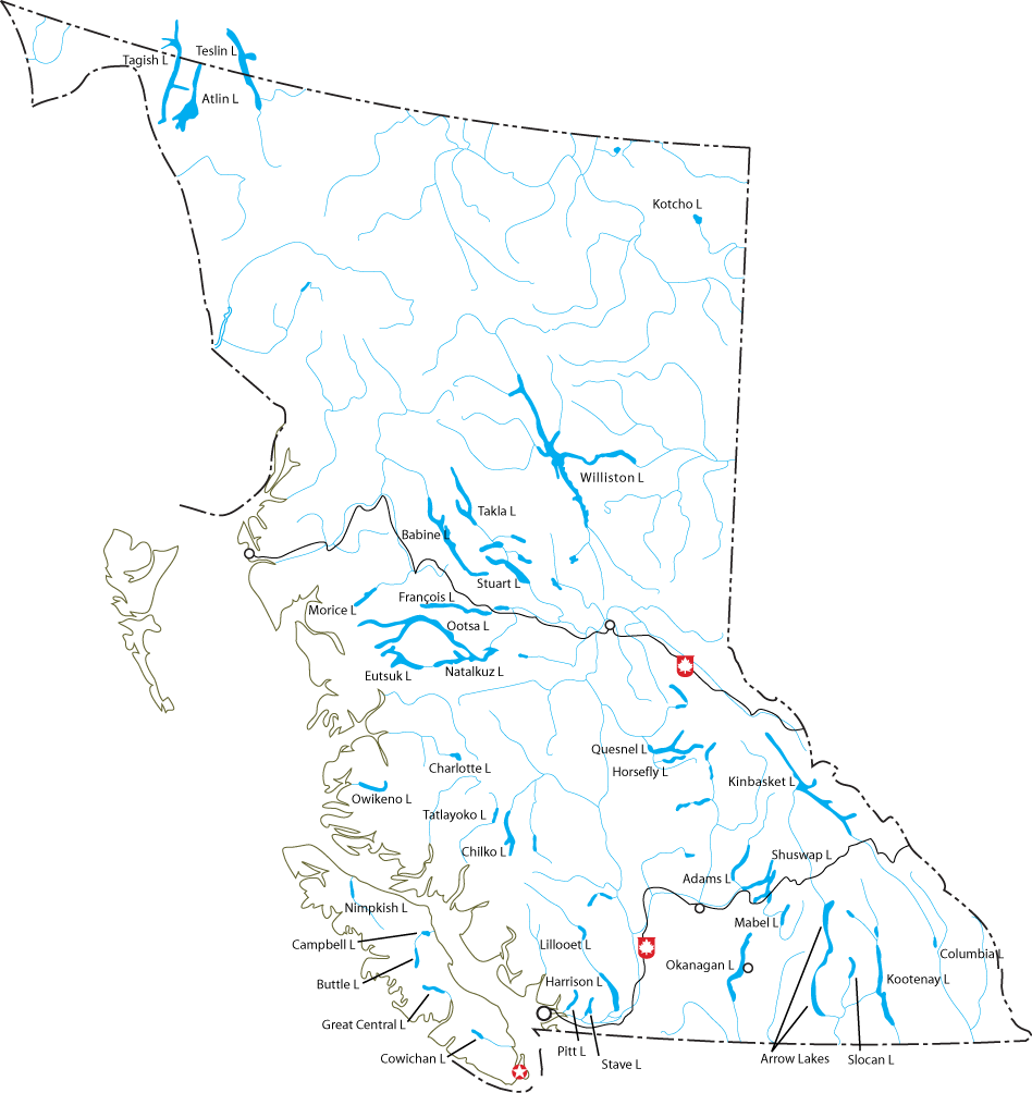
| current | 19:05, 2 August 2005 | | 948 × 1,004 (145 KB) | commons>Feydey | This map shows the major lakes in British Columbia, Canada. Created by ~~~ and released under the GFDL. Underlying data © 2003. Government of Canada with permission from Natural Resources Canada and used under [http://geogratis.cgdi.gc.ca/e_lic |
File usage
There are no pages that use this file.