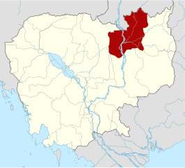
File:Cambodia Stung Treng locator map.svg
Jump to navigation
Jump to search

Size of this PNG preview of this SVG file: 664 × 600 pixels. Other resolutions: 266 × 240 pixels | 531 × 480 pixels | 850 × 768 pixels | 1,133 × 1,024 pixels | 2,267 × 2,048 pixels | 1,347 × 1,217 pixels.
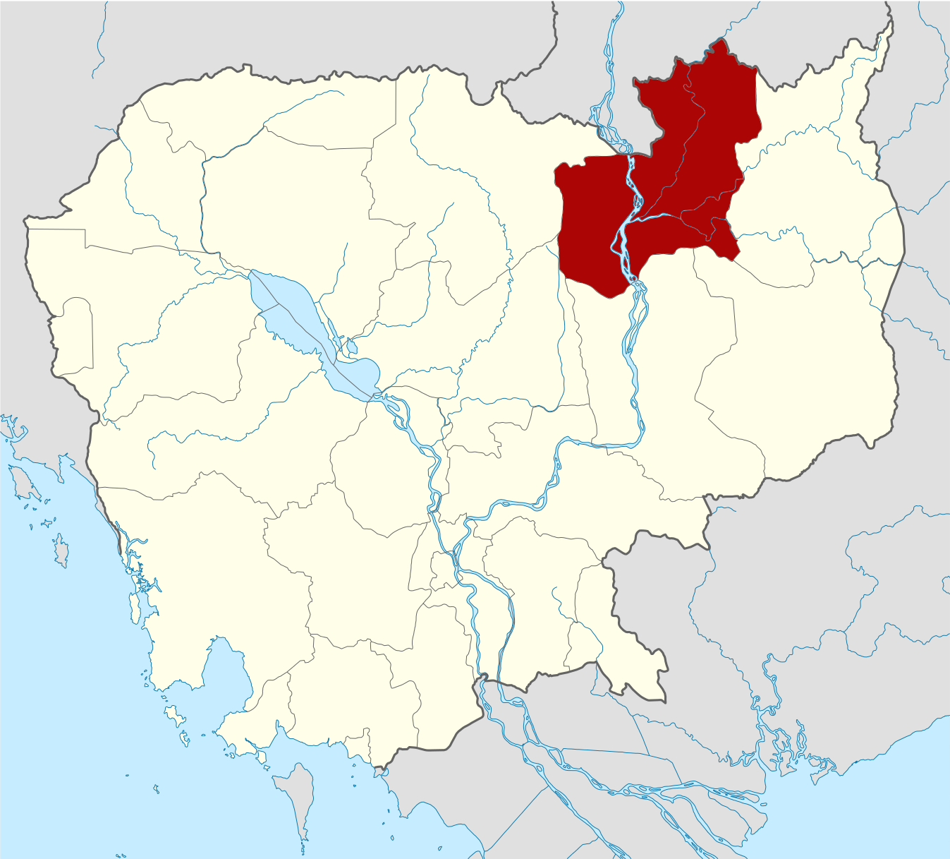
Original file (SVG file, nominally 1,347 × 1,217 pixels, file size: 761 KB)
File history
Click on a date/time to view the file as it appeared at that time.
| Date/Time | Thumbnail | Dimensions | User | Comment | |
|---|---|---|---|---|---|
| current | 15:31, 8 June 2010 | | 1,347 × 1,217 (761 KB) | commons>Kmusser | {{Information |Description={{de|Positionskarte von Kambodscha}} Quadratische Plattkarte, N-S-Streckung 105 %. Geographische Begrenzung der Karte: * N: 14.8° N * S: 9.9° N * W: 102.2° O * O: 107.9° O {{en|Location map of [[:en:Cambod |
File usage
There are no pages that use this file.