File:Caerau station site geograph-3295458-by-Ben-Brooksbank.jpg
Jump to navigation
Jump to search
Size of this preview: 800 × 514 pixels. Other resolutions: 320 × 206 pixels | 640 × 411 pixels | 1,024 × 658 pixels | 1,280 × 823 pixels | 2,256 × 1,450 pixels.
Original file (2,256 × 1,450 pixels, file size: 2.99 MB, MIME type: image/jpeg)
File history
Click on a date/time to view the file as it appeared at that time.
| Date/Time | Thumbnail | Dimensions | User | Comment | |
|---|---|---|---|---|---|
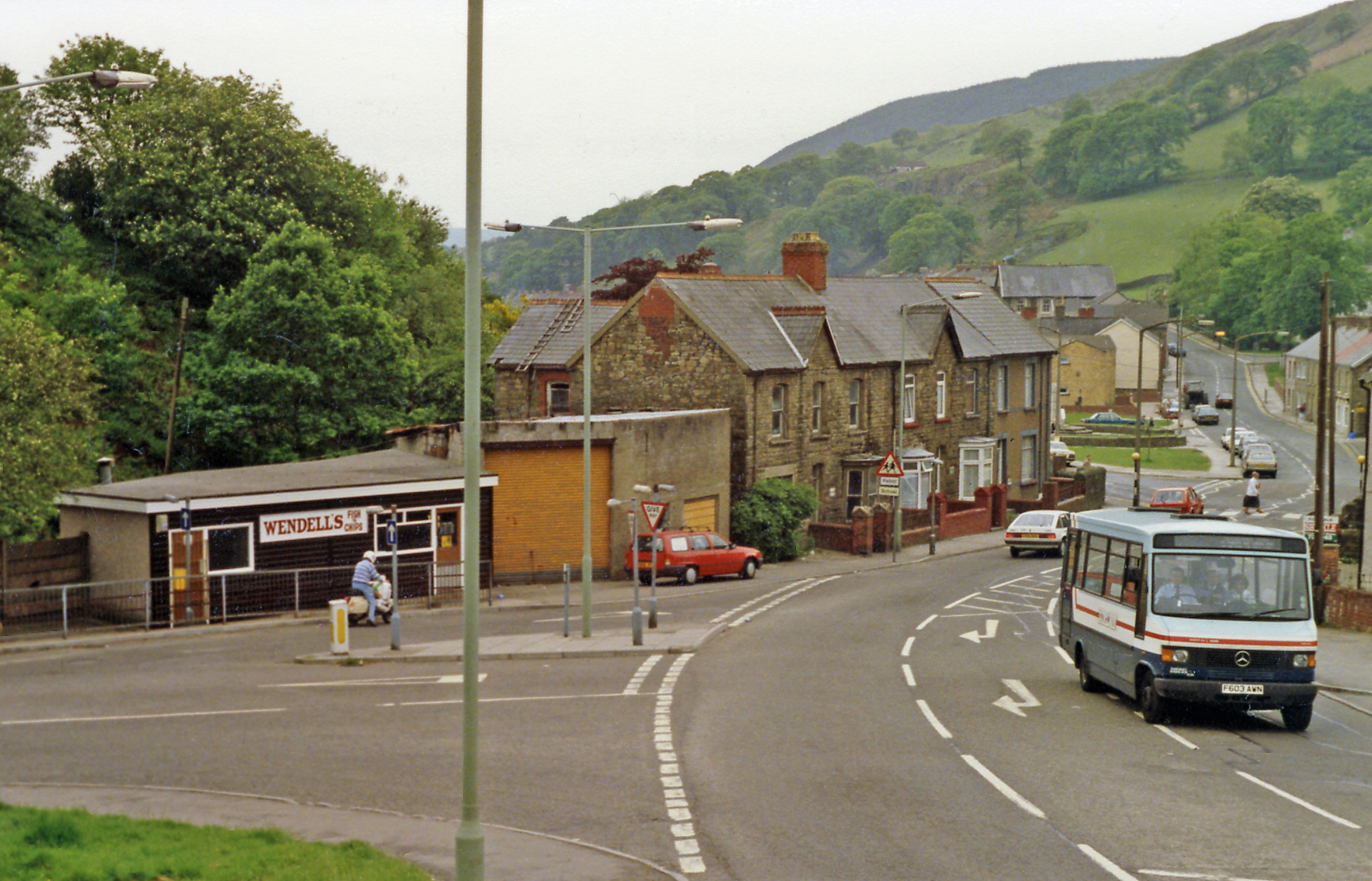
| current | 14:40, 12 February 2013 | | 2,256 × 1,450 (2.99 MB) | commons>Chevin | == {{int:filedesc}} == {{Information |Description={{en|1='''Site of Caerau station.'''<br/> View southward, on A4063 towards Measteg, Tondu and Bridgend: ex-GWR (Llynfi & Ogmore) line: Bridgend - Tondu - Maesteg - Cymmer - Abergwynfi, which was closed ... |
File usage
There are no pages that use this file.