File:Burr The State of Texas, 1835-1845 1846 UTA.jpg
Jump to navigation
Jump to search

Size of this preview: 718 × 600 pixels. Other resolutions: 287 × 240 pixels | 575 × 480 pixels | 920 × 768 pixels | 1,226 × 1,024 pixels | 2,452 × 2,048 pixels | 3,218 × 2,688 pixels.
Original file (3,218 × 2,688 pixels, file size: 1.54 MB, MIME type: image/jpeg)
File history
Click on a date/time to view the file as it appeared at that time.
| Date/Time | Thumbnail | Dimensions | User | Comment | |
|---|---|---|---|---|---|
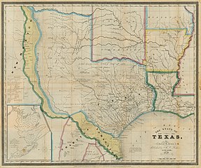
| current | 17:46, 9 March 2022 | | 3,218 × 2,688 (1.54 MB) | commons>Michael Barera | == {{int:filedesc}} == {{Map |title = {{en|'''''The State of Texas, 1836-1845'''''}} |description = {{en|Engraved by S. Stiles & Co. This historically-themed map is one of the first printed maps to show the former Texas republic and Mexican province as a state, and the map's distinct hand coloring well illustrates disputed areas (in yellow) claimed by both the Texas (and now U.S.) and Mexican governments from the time of Texas independence in 1836 to the eve of the U.S. W... |
File usage
There are no pages that use this file.