File:Burnt Quarter, State Route 613 vicinity, Dinwiddie vicinity (Dinwiddie County, Virginia).jpg
Jump to navigation
Jump to search

Size of this preview: 800 × 474 pixels. Other resolutions: 320 × 190 pixels | 640 × 379 pixels | 930 × 551 pixels.
Original file (930 × 551 pixels, file size: 174 KB, MIME type: image/jpeg)
.jpg)
File history
Click on a date/time to view the file as it appeared at that time.
| Date/Time | Thumbnail | Dimensions | User | Comment | |
|---|---|---|---|---|---|
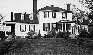
| current | 21:18, 13 December 2010 | | 930 × 551 (174 KB) | commons>KudzuVine | {{Information |Description={{en|1=Burnt Quarter, State Route 613 vicinity, Dinwiddie vicinity (Dinwiddie County, Virginia) cropped {{PD-USGov-Interior-HABS|VA,27-____,2-1}} }} |Source=http://memory.loc.gov/pnp/habshaer/va/va0300/va0340/photos/161090pv.jpg |
File usage
There are no pages that use this file.
.jpg)