File:Buckland, Gloucestershire Map.png
Jump to navigation
Jump to search

Size of this preview: 599 × 600 pixels. Other resolutions: 240 × 240 pixels | 480 × 480 pixels | 1,002 × 1,003 pixels.
Original file (1,002 × 1,003 pixels, file size: 207 KB, MIME type: image/png)
File history
Click on a date/time to view the file as it appeared at that time.
| Date/Time | Thumbnail | Dimensions | User | Comment | |
|---|---|---|---|---|---|
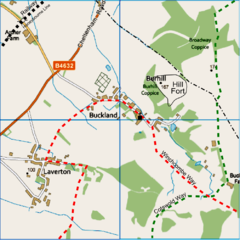
| current | 01:03, 15 January 2013 | | 1,002 × 1,003 (207 KB) | commons>RobinLeicester | {{Information |Description ={{en|1=Map of Buckland and Laverton, Gloucestershire. Map width, 2Km.}} |Source =Ordnance Survey [http://www.ordnancesurvey.co.uk/oswebsite/opendata/viewer/ OpenData viewer] VectorMap Distric... |
File usage
There are no pages that use this file.