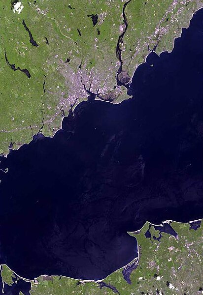
File:Bridgeport ct satellite map.jpg
Jump to navigation
Jump to search

Size of this preview: 412 × 600 pixels. Other resolutions: 165 × 240 pixels | 584 × 850 pixels.
Original file (584 × 850 pixels, file size: 59 KB, MIME type: image/jpeg)
File history
Click on a date/time to view the file as it appeared at that time.
| Date/Time | Thumbnail | Dimensions | User | Comment | |
|---|---|---|---|---|---|
| current | 13:28, 18 March 2011 | | 584 × 850 (59 KB) | commons>Cropbot | upload cropped version, operated by User:Beao. Summary: cropped |
File usage
There are no pages that use this file.