File:Brazil Region Nordeste Subregions.svg
Jump to navigation
Jump to search

Size of this PNG preview of this SVG file: 474 × 599 pixels. Other resolutions: 190 × 240 pixels | 380 × 480 pixels | 607 × 768 pixels | 810 × 1,024 pixels | 1,620 × 2,048 pixels | 549 × 694 pixels.
Original file (SVG file, nominally 549 × 694 pixels, file size: 434 KB)
File history
Click on a date/time to view the file as it appeared at that time.
| Date/Time | Thumbnail | Dimensions | User | Comment | |
|---|---|---|---|---|---|
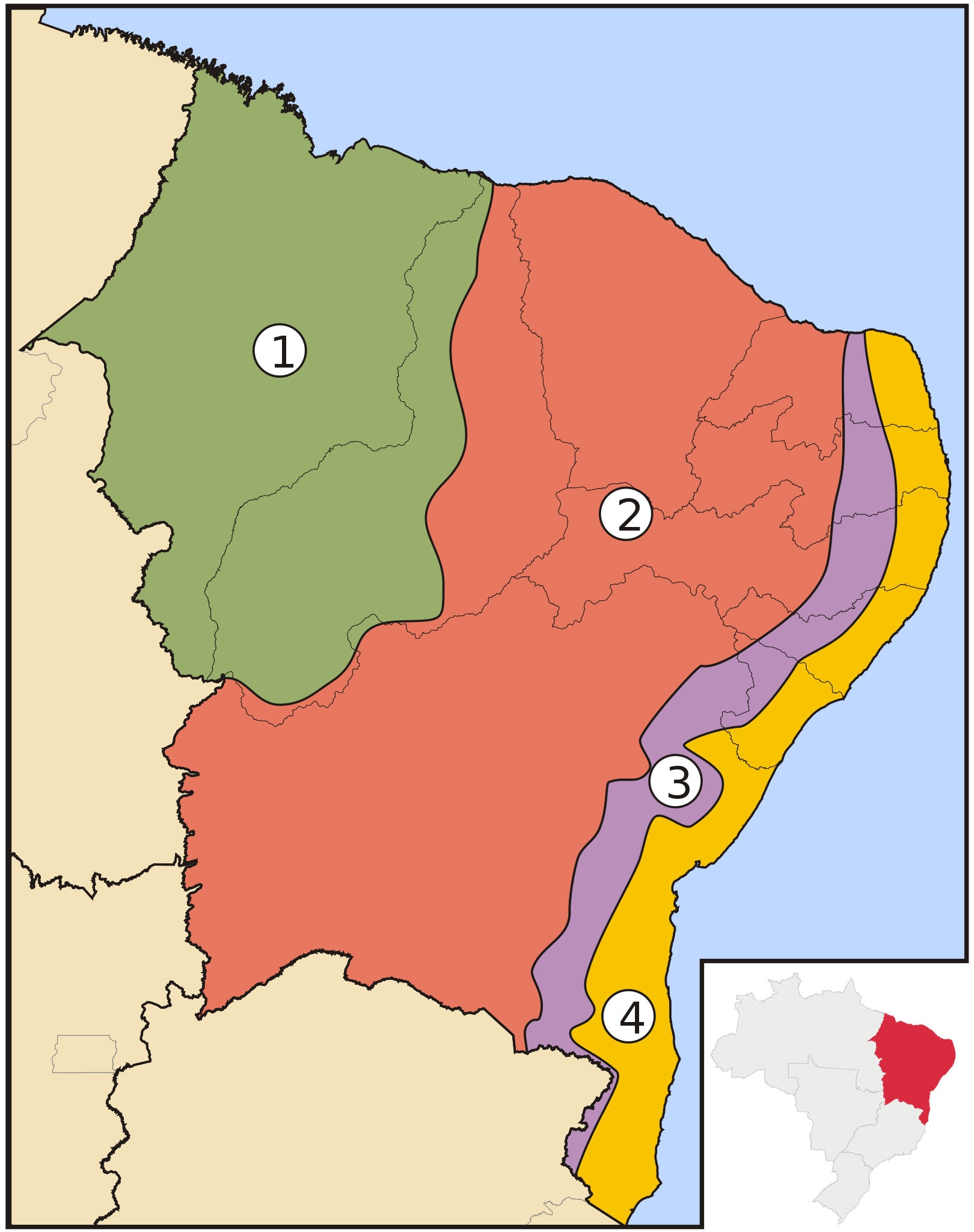
| current | 01:30, 30 April 2006 | | 549 × 694 (434 KB) | commons>Raphael.lorenzeto | {{Information| |Description=Map of subregions of Brazil's Nordeste region |Source=own work |Date=April, 29 2006 |Author=Raphael Lorenzeto de Abreu |Permission={{self2|GFDL|cc-by-2.5}} |other_versions= }} Category:Maps of Acre |
File usage
There are no pages that use this file.