File:Brainerd Micropolitan Area.png
Jump to navigation
Jump to search
No higher resolution available.
Brainerd_Micropolitan_Area.png (440 × 498 pixels, file size: 24 KB, MIME type: image/png)
File history
Click on a date/time to view the file as it appeared at that time.
| Date/Time | Thumbnail | Dimensions | User | Comment | |
|---|---|---|---|---|---|
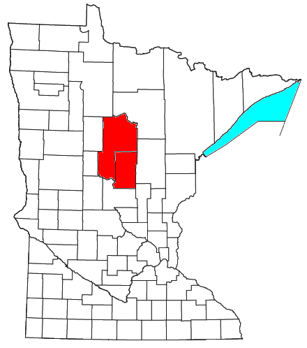
| current | 14:42, 27 July 2008 | | 440 × 498 (24 KB) | commons>Nyttend | {{Information |Description=Locator map of the {{w|Brainerd, MN µSA|Brainerd Micropolitan Statistical Area}} in the southern part of the {{w|U.S. state}} of {{w|Minnesota}}. |Source=Modified from [http://www2.census.gov/geo/maps/general_ref/cousub_outline |
File usage
There are no pages that use this file.