File:Bowling Heights Dec 08.JPG
Jump to navigation
Jump to search
Size of this preview: 800 × 600 pixels. Other resolutions: 320 × 240 pixels | 640 × 480 pixels | 1,024 × 768 pixels | 1,280 × 960 pixels | 2,592 × 1,944 pixels.
Original file (2,592 × 1,944 pixels, file size: 2.13 MB, MIME type: image/jpeg)
|
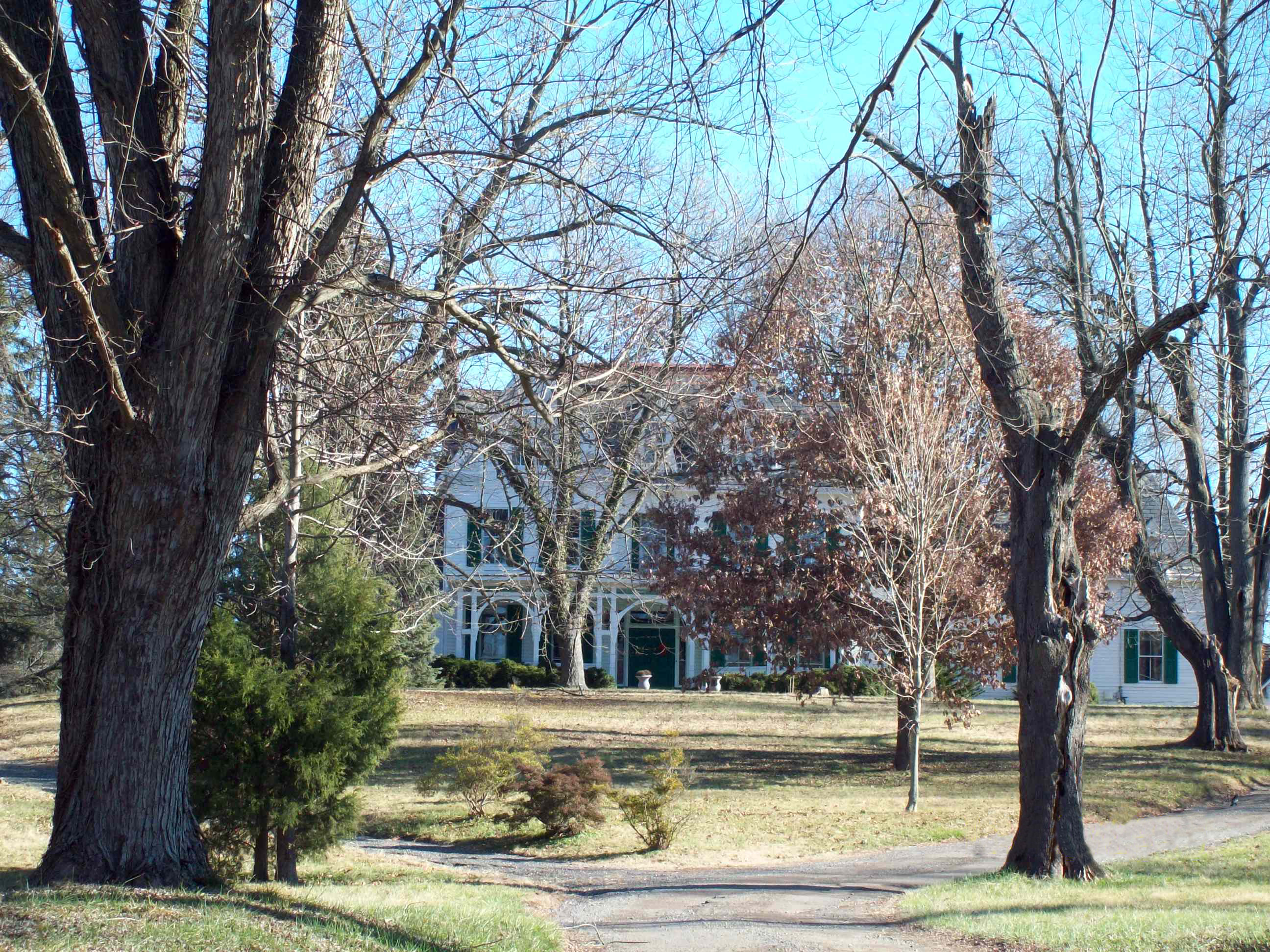
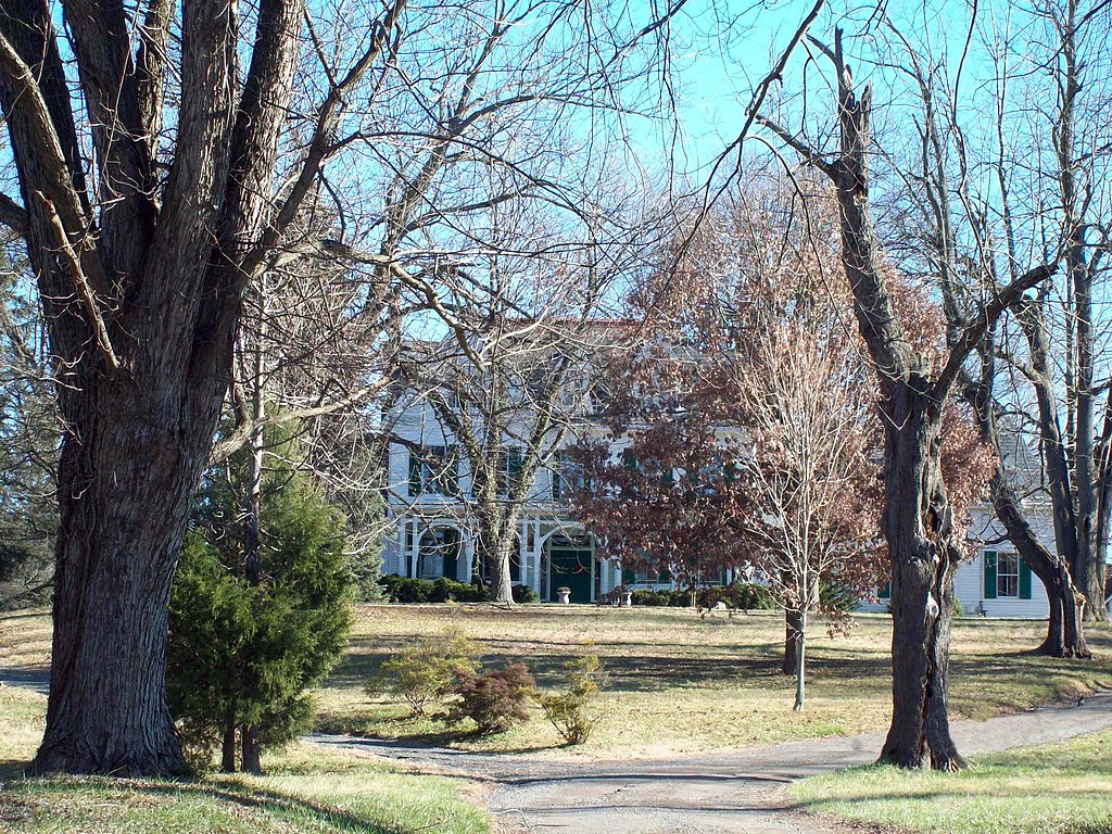
This is an image of a place or building that is listed on the National Register of Historic Places in the United States of America. Its reference number is 82001599. |
Summary
| Description |
English: Bowling Heights, Upper Marlboro, Maryland. |
| Date | Taken on 29 December 2008 |
| Source | Own work |
| Author | Pubdog (talk) |
| Object location | | View this and other nearby images on: OpenStreetMap |
|---|
Licensing
| This work has been released into the public domain by its author, Pubdog at English Wikipedia. This applies worldwide. In some countries this may not be legally possible; if so: Pubdog grants anyone the right to use this work for any purpose, without any conditions, unless such conditions are required by law. |
Original upload log
The original description page was here. All following user names refer to en.wikipedia.
- 2008-12-29 20:29 Pubdog 2592×1944 (745352 bytes) {{Information |Description=Bowling Heights, December 2008 |Source=I created this work entirely by myself. |Date=12/29/2008 |Author=~~~ |other_versions= }}
File history
Click on a date/time to view the file as it appeared at that time.
| Date/Time | Thumbnail | Dimensions | User | Comment | |
|---|---|---|---|---|---|
| current | 19:56, 12 June 2014 | | 2,592 × 1,944 (2.13 MB) | commons>Lomita | Suppression tag |
File usage
There are no pages that use this file.