File:Belgium relief location map.jpg
Jump to navigation
Jump to search

Size of this preview: 689 × 599 pixels. Other resolutions: 276 × 240 pixels | 552 × 480 pixels | 883 × 768 pixels | 1,136 × 988 pixels.
Original file (1,136 × 988 pixels, file size: 255 KB, MIME type: image/jpeg)
File history
Click on a date/time to view the file as it appeared at that time.
| Date/Time | Thumbnail | Dimensions | User | Comment | |
|---|---|---|---|---|---|
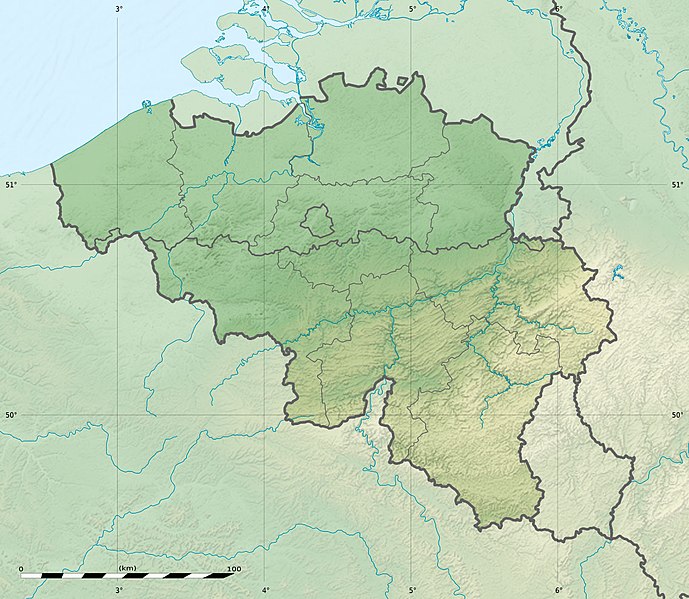
| current | 23:27, 23 September 2010 | | 1,136 × 988 (255 KB) | commons>Sting | == {{int:filedesc}} == {{Location|50|30|00|N|04|33|00|E|scale:1000000}} <br/> {{Information |Description= {{de|Relief Positionskarte von Belgien}} {{en|Physical location map of Belgium, for geo-location purposes.}} {{fr|Car |
File usage
There are no pages that use this file.