File:Beaubassin1755.jpg
Jump to navigation
Jump to search

Size of this preview: 790 × 600 pixels. Other resolutions: 316 × 240 pixels | 632 × 480 pixels | 1,012 × 768 pixels | 1,280 × 972 pixels | 2,560 × 1,943 pixels | 4,434 × 3,366 pixels.
Original file (4,434 × 3,366 pixels, file size: 4.53 MB, MIME type: image/jpeg)
File history
Click on a date/time to view the file as it appeared at that time.
| Date/Time | Thumbnail | Dimensions | User | Comment | |
|---|---|---|---|---|---|
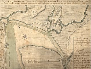
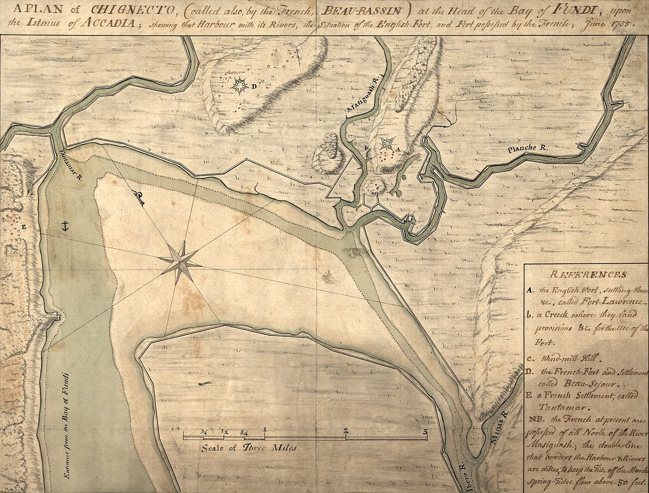
| current | 00:16, 11 July 2009 | | 4,434 × 3,366 (4.53 MB) | commons>Magicpiano | {{Information |Description={{en|1=A map depicting the w:Beaubassin region of w:Nova Scotia in 1755. The area was then on the frontier between British Nova Scotia and French w:Acadia. The caption reads: A plan of [[w:Isthmus of Chignecto|C |
File usage
There are no pages that use this file.