File:Area of the Mediterranean.jpg
Jump to navigation
Jump to search
Size of this preview: 800 × 397 pixels. Other resolutions: 320 × 159 pixels | 640 × 317 pixels | 1,024 × 508 pixels | 1,280 × 635 pixels | 2,560 × 1,270 pixels | 5,441 × 2,699 pixels.
Original file (5,441 × 2,699 pixels, file size: 4.99 MB, MIME type: image/jpeg)
Summary
| Description |
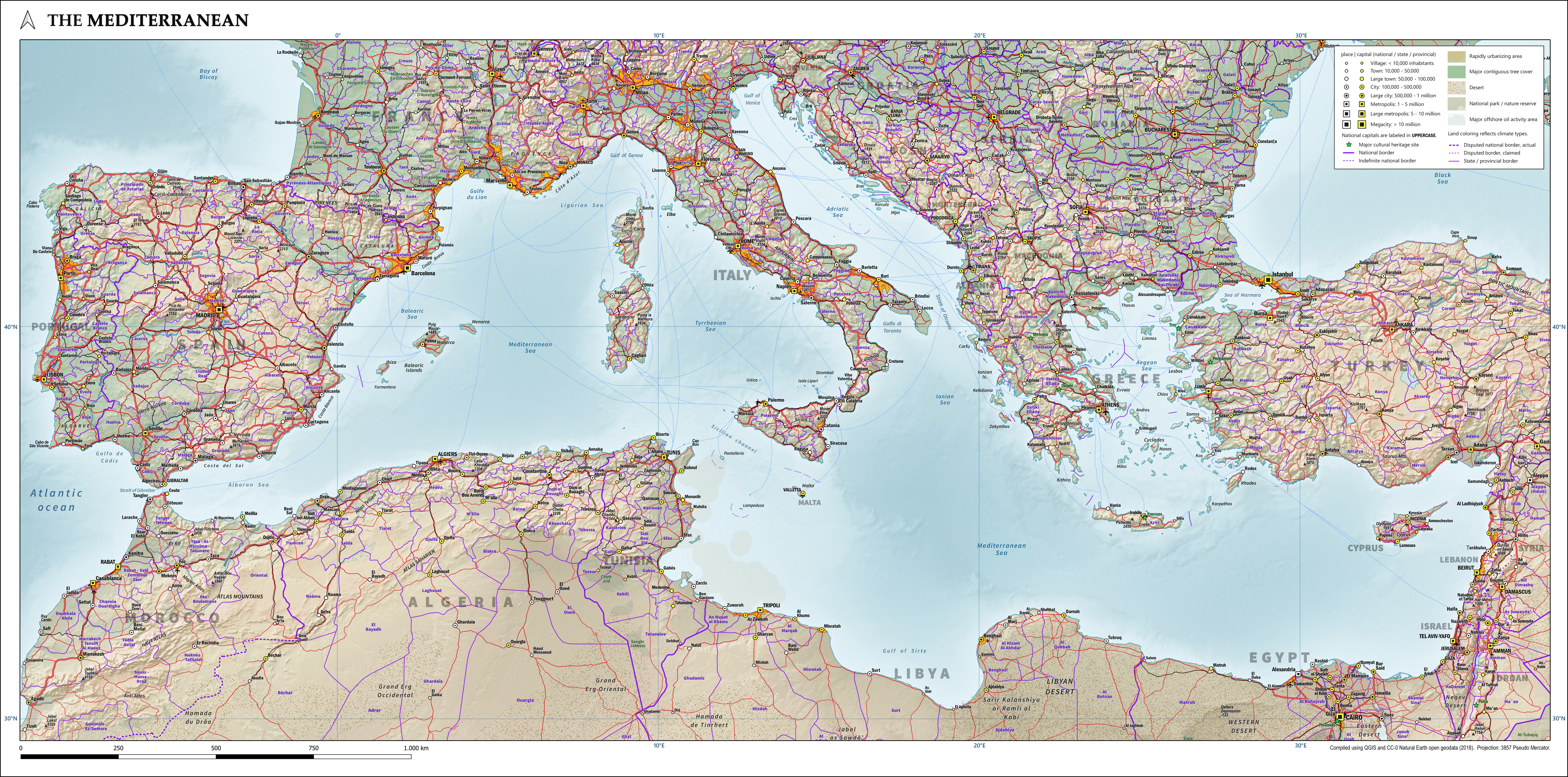
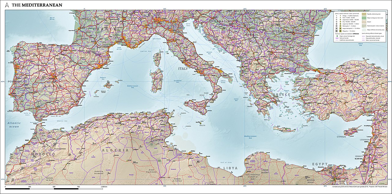
English: Compiled from Natural Earth open data, this map from 2020 shows land cover, hillshade, populated places, infrastructure and administrative divisions. |
| Date | |
| Source | Own work |
| Author | Janwillemvanaalst |
Licensing
I, the copyright holder of this work, hereby publish it under the following license:
This file is licensed under the Creative Commons Attribution 4.0 International license.
- You are free:
- to share – to copy, distribute and transmit the work
- to remix – to adapt the work
- Under the following conditions:
- attribution – You must give appropriate credit, provide a link to the license, and indicate if changes were made. You may do so in any reasonable manner, but not in any way that suggests the licensor endorses you or your use.
File history
Click on a date/time to view the file as it appeared at that time.
| Date/Time | Thumbnail | Dimensions | User | Comment | |
|---|---|---|---|---|---|
| current | 14:42, 15 August 2020 | | 5,441 × 2,699 (4.99 MB) | commons>Janwillemvanaalst | Improved placement of labels along the coastline and islands. |
File usage
There are no pages that use this file.