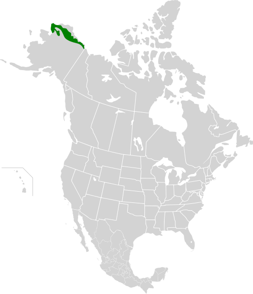
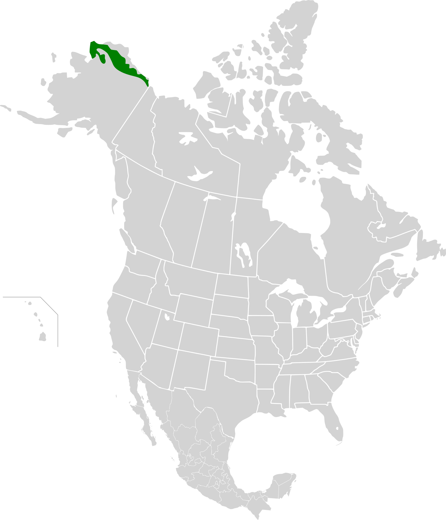
File:Arctic foothills tundra map.svg
Jump to navigation
Jump to search

Size of this PNG preview of this SVG file: 515 × 599 pixels. Other resolutions: 206 × 240 pixels | 412 × 480 pixels | 660 × 768 pixels | 880 × 1,024 pixels | 1,760 × 2,048 pixels | 1,712 × 1,992 pixels.
Original file (SVG file, nominally 1,712 × 1,992 pixels, file size: 337 KB)
File history
Click on a date/time to view the file as it appeared at that time.
| Date/Time | Thumbnail | Dimensions | User | Comment | |
|---|---|---|---|---|---|
| current | 22:56, 21 September 2010 | | 1,712 × 1,992 (337 KB) | commons>Cephas | {{Information |Description={{en|1=Approximate area of the Arctic foothills tundra ecoregion}} {{fr|1=Aire approximative de l'écorégion de la Toundra des contreforts de l'Arctique}} |Source=*[[:File:North Ame |
File usage
There are no pages that use this file.