File:Alberta Highway 61 Map.png
Jump to navigation
Jump to search
Size of this preview: 793 × 600 pixels. Other resolutions: 317 × 240 pixels | 635 × 480 pixels | 1,016 × 768 pixels | 1,338 × 1,012 pixels.
Original file (1,338 × 1,012 pixels, file size: 139 KB, MIME type: image/png)
File history
Click on a date/time to view the file as it appeared at that time.
| Date/Time | Thumbnail | Dimensions | User | Comment | |
|---|---|---|---|---|---|
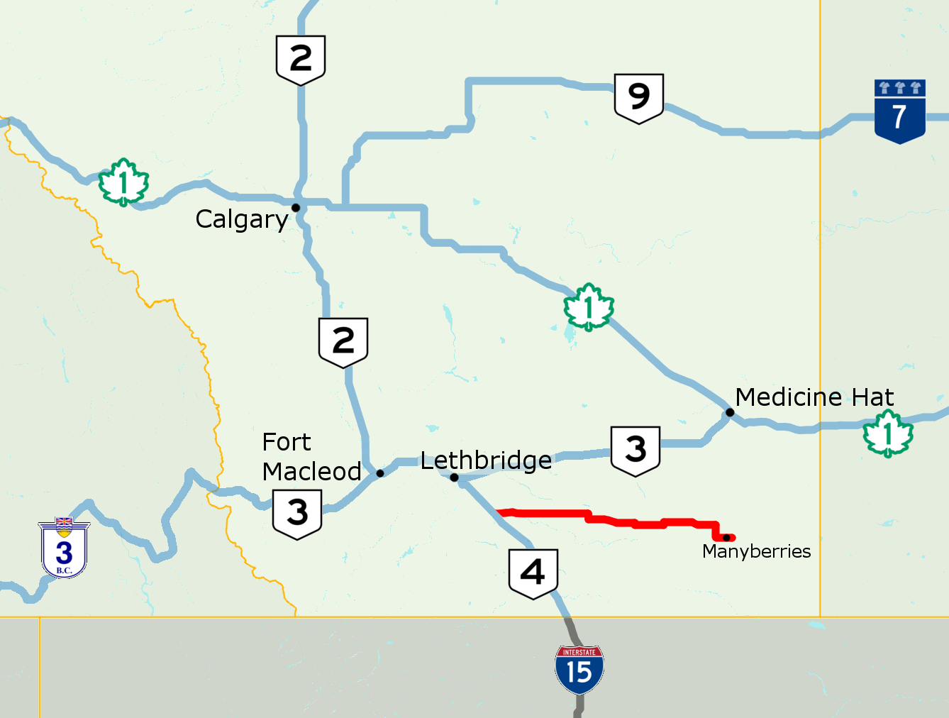
| current | 18:22, 24 January 2017 | | 1,338 × 1,012 (139 KB) | commons>AceYYC | =={{int:filedesc}}== {{Information |description={{en|1=OpenStreetMap of Highway 61 in southern Alberta, Saskatchewan}} |date=2017-01-24 |source={{own}} |author=acefitt, OpenStreetMap contributors |permission= |other versions= }} =={{i... |
File usage
There are no pages that use this file.