File:Airfield West of Leven - geograph.org.uk - 145875.jpg
Jump to navigation
Jump to search
No higher resolution available.
Airfield_West_of_Leven_-_geograph.org.uk_-_145875.jpg (640 × 480 pixels, file size: 55 KB, MIME type: image/jpeg)
File history
Click on a date/time to view the file as it appeared at that time.
| Date/Time | Thumbnail | Dimensions | User | Comment | |
|---|---|---|---|---|---|
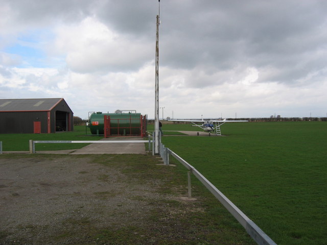
| current | 05:07, 31 January 2010 | | 640 × 480 (55 KB) | commons>GeographBot | == {{int:filedesc}} == {{Information |description={{en|1=Airfield West of Leven. The airfield is in the top NE corner of the grid square and the south edge of the adjacent square north. The surrounding area is farmland.}} |date=2006-04-02 |source=From [ht |
File usage
There are no pages that use this file.