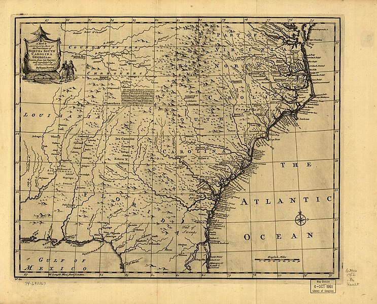
File:A new accurate map of the provinces of North & South Carolina, Georgia, Florida, and Louisiana in 1752.jpg
Jump to navigation
Jump to search

Size of this preview: 743 × 600 pixels. Other resolutions: 298 × 240 pixels | 595 × 480 pixels | 952 × 768 pixels | 1,269 × 1,024 pixels | 1,466 × 1,183 pixels.
Original file (1,466 × 1,183 pixels, file size: 434 KB, MIME type: image/jpeg)
File history
Click on a date/time to view the file as it appeared at that time.
| Date/Time | Thumbnail | Dimensions | User | Comment | |
|---|---|---|---|---|---|
| current | 16:35, 23 October 2019 | | 1,466 × 1,183 (434 KB) | commons>G. Moore | User created page with UploadWizard |
File usage
There are no pages that use this file.