File:8 Map of Abemama, Kiribati.jpg
Jump to navigation
Jump to search

Size of this preview: 463 × 599 pixels. Other resolutions: 185 × 240 pixels | 600 × 776 pixels.
Original file (600 × 776 pixels, file size: 239 KB, MIME type: image/jpeg)
File history
Click on a date/time to view the file as it appeared at that time.
| Date/Time | Thumbnail | Dimensions | User | Comment | |
|---|---|---|---|---|---|
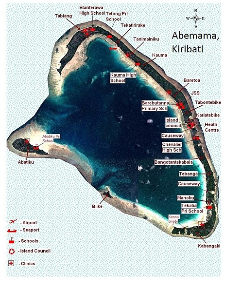
| current | 20:51, 10 March 2013 | | 600 × 776 (239 KB) | commons>Obkiribati1 | {{Information |Description ={{en|1=Astronaut photo of Abemama, Kiribati with villages and main landmarks}} |Source =Astronaut photo/ Government of Kiribati mapping information |Author =Government of USA, Government of Kiribati |Date ... |
File usage
There are no pages that use this file.