File:1905 Administrative Map Province of Brandenburg.svg
Jump to navigation
Jump to search

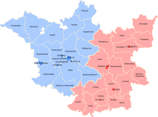
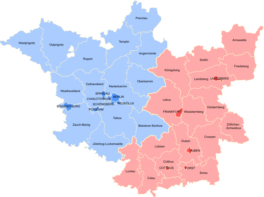
Size of this PNG preview of this SVG file: 512 × 381 pixels. Other resolutions: 320 × 238 pixels | 640 × 476 pixels | 1,024 × 762 pixels | 1,280 × 953 pixels | 2,560 × 1,905 pixels.
Original file (SVG file, nominally 512 × 381 pixels, file size: 214 KB)
File history
Click on a date/time to view the file as it appeared at that time.
| Date/Time | Thumbnail | Dimensions | User | Comment | |
|---|---|---|---|---|---|
| current | 14:57, 13 October 2021 | | 512 × 381 (214 KB) | commons>MsCosmicAsh | Outlined text |
File usage
There are no pages that use this file.