File:1876 5th Middlesex senate district map Massachusetts US.jpg
Jump to navigation
Jump to search

Size of this preview: 800 × 487 pixels. Other resolutions: 320 × 195 pixels | 640 × 390 pixels | 1,024 × 624 pixels | 1,280 × 780 pixels | 3,200 × 1,949 pixels.
Original file (3,200 × 1,949 pixels, file size: 1.1 MB, MIME type: image/jpeg)
File history
Click on a date/time to view the file as it appeared at that time.
| Date/Time | Thumbnail | Dimensions | User | Comment | |
|---|---|---|---|---|---|
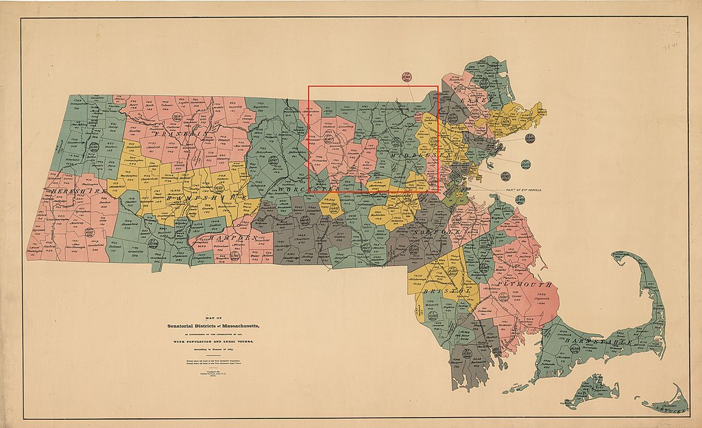
| current | 11:53, 17 April 2020 | | 3,200 × 1,949 (1.1 MB) | commons>M2545 | {{Information |description=Map of districts of the Massachusetts state senate apportioned in 1876. The map includes 1885 population information. The location of the 5th Middlesex senate district is highlighted in red. |date=1886 |source=https://malegislature.gov/Redistricting/HistoricDistricts/Senate |author= Rand, Avery & Co. |permission= |other versions= }} {{PD-US-expired}} |
File usage
There are no pages that use this file.