File:1854 EastCambridgeMA map byWalling BPL 12775.png
Jump to navigation
Jump to search

Size of this preview: 754 × 599 pixels. Other resolutions: 302 × 240 pixels | 604 × 480 pixels | 937 × 745 pixels.
Original file (937 × 745 pixels, file size: 1.18 MB, MIME type: image/png)
File history
Click on a date/time to view the file as it appeared at that time.
| Date/Time | Thumbnail | Dimensions | User | Comment | |
|---|---|---|---|---|---|
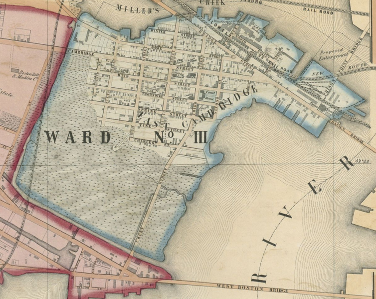
| current | 18:49, 16 August 2011 | | 937 × 745 (1.18 MB) | commons>M2545 | {{Information |Description=Ward no.3, East Cambridge, Massachusetts, USA. Detail from: Map of the city of Cambridge, Middlesex County, Massachusetts (Cambridge MA: George L. Dix, 1854) |Source=Boston Public Library. http://maps.bpl.org/details_12775 |Date |
File usage
There are no pages that use this file.