File:1842 Manistee Kawtawwabet Missaukee Mickenauk Ogemaw Kanotin Notipeskago Aishcum Unwattin Kaykakee Gladwin Arenac counties Michigan.jpg
Jump to navigation
Jump to search

Size of this preview: 799 × 266 pixels. Other resolutions: 320 × 107 pixels | 640 × 213 pixels | 1,537 × 512 pixels.
Original file (1,537 × 512 pixels, file size: 861 KB, MIME type: image/jpeg)
File history
Click on a date/time to view the file as it appeared at that time.
| Date/Time | Thumbnail | Dimensions | User | Comment | |
|---|---|---|---|---|---|
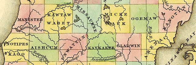
| current | 19:43, 5 October 2016 | 1,537 × 512 (861 KB) | commons>TimK MSI | {{Information |Description ={{en|1=Detail of A New Map of Michigan With Its Canals, Roads & Distances by H.S. Tanner, 1842 showing: *[[w:Manistee County, Michiga... |
File usage
There are no pages that use this file.