File:1814 Thomson Map of the West Indies ^ Central America - Geographicus - WestIndies-t-1814.jpg
Jump to navigation
Jump to search
Size of this preview: 711 × 599 pixels. Other resolutions: 285 × 240 pixels | 569 × 480 pixels | 911 × 768 pixels | 1,215 × 1,024 pixels | 2,430 × 2,048 pixels | 5,000 × 4,215 pixels.
Original file (5,000 × 4,215 pixels, file size: 4.41 MB, MIME type: image/jpeg)
File history
Click on a date/time to view the file as it appeared at that time.
| Date/Time | Thumbnail | Dimensions | User | Comment | |
|---|---|---|---|---|---|
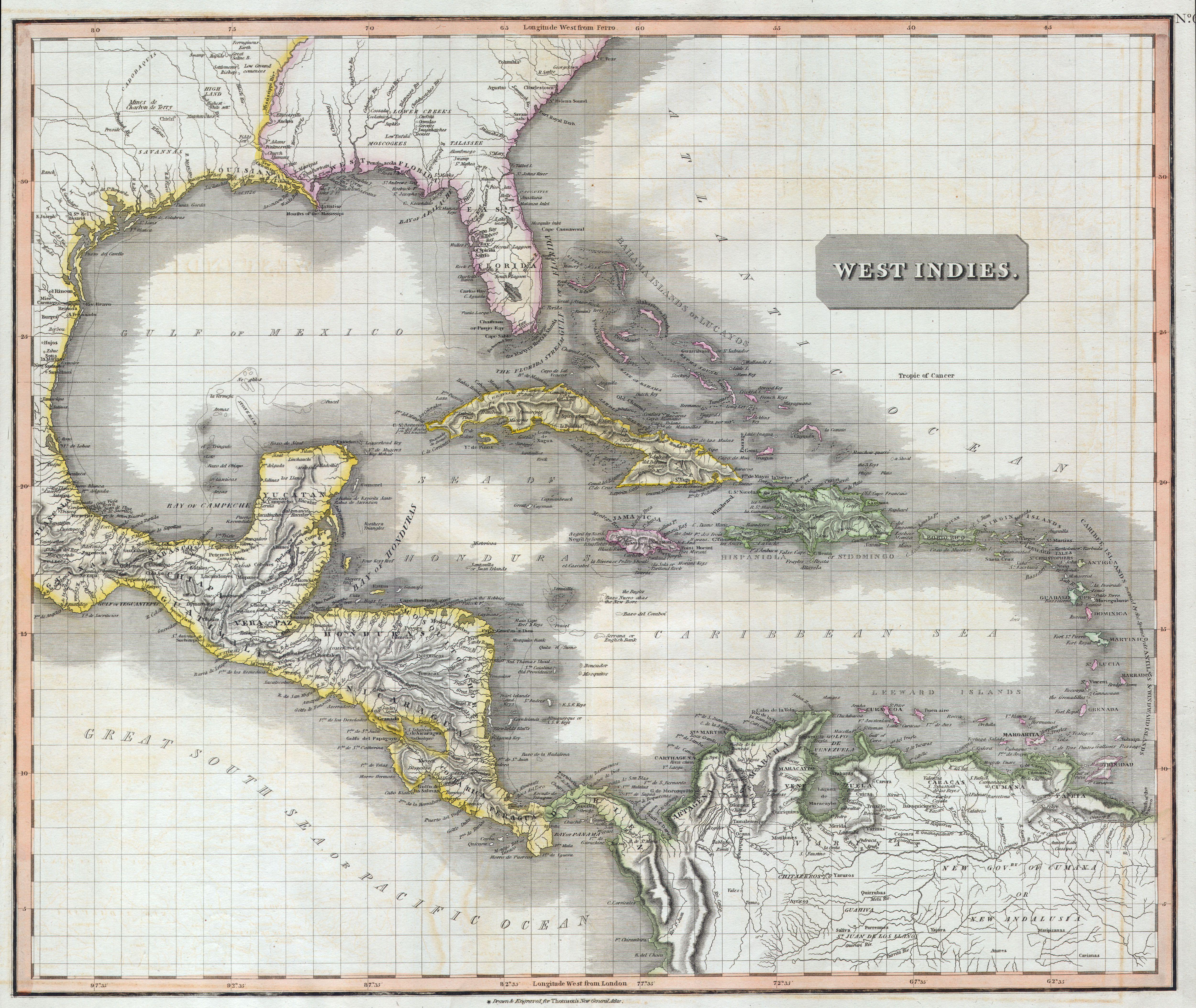
| current | 12:01, 24 March 2011 | | 5,000 × 4,215 (4.41 MB) | commons>BotMultichillT | {{subst:User:Multichill/Geographicus |link=http://www.geographicus.com/P/AntiqueMap/WestIndies-t-1814 |product_name=1814 Thomson Map of the West Indies & Central America |map_title=West Indies. |description=A masterpiece. This fascinating hand colored 181 |
File usage
There are no pages that use this file.