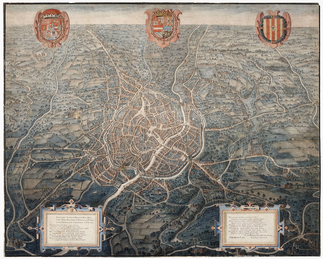
File:16th-century Map of Mechelen.jpg
Jump to navigation
Jump to search

Size of this preview: 747 × 600 pixels. Other resolutions: 299 × 240 pixels | 598 × 480 pixels | 956 × 768 pixels | 1,275 × 1,024 pixels | 2,550 × 2,048 pixels | 8,999 × 7,228 pixels.
Original file (8,999 × 7,228 pixels, file size: 26.18 MB, MIME type: image/jpeg)
File history
Click on a date/time to view the file as it appeared at that time.
| Date/Time | Thumbnail | Dimensions | User | Comment | |
|---|---|---|---|---|---|
| current | 11:58, 29 December 2021 | | 8,999 × 7,228 (26.18 MB) | commons>Cassius Fury | Uploaded a work by Jan Van Hanswijk from https://www.regionalebeeldbank.be/beeldbank/1121310 with UploadWizard |
File usage
There are no pages that use this file.