File:1686 Mallet Map of Ceylon or Sri Lanka (Taprobane) - Geographicus - Taprobane-mallet-1686.jpg
Jump to navigation
Jump to search

Size of this preview: 472 × 599 pixels. Other resolutions: 189 × 240 pixels | 378 × 480 pixels | 605 × 768 pixels | 807 × 1,024 pixels | 1,602 × 2,033 pixels.
Original file (1,602 × 2,033 pixels, file size: 1 MB, MIME type: image/jpeg)
_-_Geographicus_-_Taprobane-mallet-1686.jpg)
File history
Click on a date/time to view the file as it appeared at that time.
| Date/Time | Thumbnail | Dimensions | User | Comment | |
|---|---|---|---|---|---|
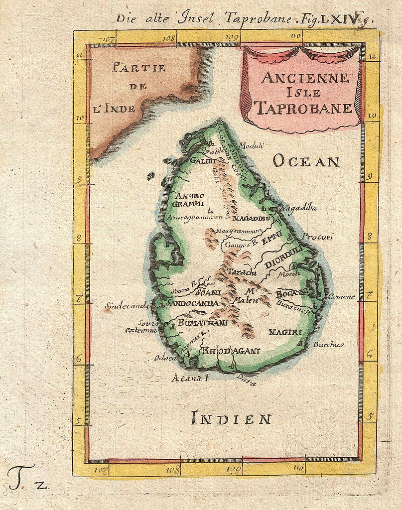
| current | 22:17, 24 March 2011 | | 1,602 × 2,033 (1 MB) | commons>BotMultichillT | {{subst:User:Multichill/Geographicus |link=http://www.geographicus.com/P/AntiqueMap/Taprobane-mallet-1686 |product_name=1686 Mallet Map of Ceylon or Sri Lanka (Taprobane) |map_title=Ancienne Isle Taprobane. Die alte Insel Tabrobane. |description=A beautif |
File usage
There are no pages that use this file.
_-_Geographicus_-_Taprobane-mallet-1686.jpg)