File:Åland Political Map-en.svg
Jump to navigation
Jump to search

Size of this PNG preview of this SVG file: 595 × 600 pixels. Other resolutions: 238 × 240 pixels | 476 × 480 pixels | 762 × 768 pixels | 1,016 × 1,024 pixels | 2,032 × 2,048 pixels | 996 × 1,004 pixels.
Original file (SVG file, nominally 996 × 1,004 pixels, file size: 219 KB)
File history
Click on a date/time to view the file as it appeared at that time.
| Date/Time | Thumbnail | Dimensions | User | Comment | |
|---|---|---|---|---|---|
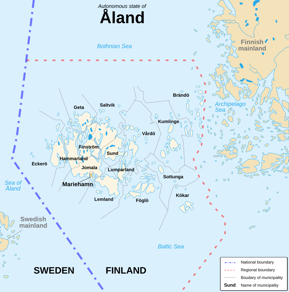
| current | 16:11, 21 August 2007 | | 996 × 1,004 (219 KB) | commons>Sémhur | {{Information |Description=Political map of the autonomous finnish province of Åland, in english.<br/> Shows the national, regional and municipal boundaries about Åland islands. |Source=Own work. Based on Image:Alandmunicipalities.png and [[:Image: |
File usage
There are no pages that use this file.