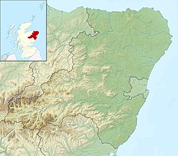
Dubh Loch (Glen Muick)
| Dubh Loch | |
|---|---|
 | |
| Location | Aberdeenshire, Scotland |
| Coordinates | 56°55′46″N 3°15′12″W / 56.92944°N 3.25333°W |
| Type | freshwater loch |
| Primary outflows | Allt an Dubh-loch |
| Basin countries | Scotland |
| Surface area | 19.9 ha (49 acres)[1] |
| Shore length1 | 2.3 km (1.4 mi)[1] |
| Surface elevation | 637 m (2,090 ft)[1] |
| 1 Shore length is not a well-defined measure. | |
Dubh Loch is a small upland loch situated within the Balmoral Estate, in Aberdeenshire, Scotland. It is at an altitude of 637 metres (2,090 ft), with a perimeter of 2.3 kilometres (1.4 mi).[1] Its outflow, Allt an Dubh-loch, empties into Loch Muick approximately 2 kilometres (1.2 mi) to the southeast near the royal lodge Glas-allt-Shiel.[2] To the southeast of the loch is the Munro Broad Cairn. To the northwest the ground slopes steeply up to Càrn a' Coire Boidheach and Lochnagar.[3] To the west is Cairn Bannoch and over a high col to the southwest lies Loch Callater.[4]
Creag an Dubh Loch

A granite wall, Creag an Dubh Loch, rises steeply above the loch on the southeast shading the loch from the sun – hence the name "dark lake". Creag an Dubh Loch is about 1.5 kilometres (0.9 mi) long and generally about 200 metres (660 ft) high – at its highest it is 270 metres (890 ft) making it the highest continuous rock face in the Cairngorms.[3]
The loch was a favourite spot for Queen Victoria to visit from her retreat at Glas-allt-Shiel. Once her son Alfred swam out into the loch to capture and kill a wounded stag in the water.[3]
References
- ^ a b c d "Dubh Loch, Grampian". British Lakes. Retrieved 10 September 2017.
- ^ "Ordnance Survey one-inch Scotland, 1885-1900". National Library of Scotland. Retrieved 10 September 2017.
- ^ a b c Watson, Adam (1992). The Cairngorms : Lochnagar and the Mounth (6th ed.). Scottish Mountaineering Trust. pp. 200–202. ISBN 0-907521-39-8.
- ^ Tranter, Nigel (1972). The Queen's Scotland, The Eastern Counties. Hodder and Stoughton. ISBN 0-340-16462-X.
- Pages using gadget WikiMiniAtlas
- Articles with short description
- Short description is different from Wikidata
- Use British English from January 2018
- Use dmy dates from September 2017
- Coordinates on Wikidata
- Articles using infobox body of water without pushpin map alt
- Articles using infobox body of water without image bathymetry
- Lochs of Aberdeenshire
- Freshwater lochs of Scotland
